

White Pines Beach:
Sasamat Lake Loop Trail - 3.2 Km
Fantastic afternoon walk for you and the kids located in the
Great Vancouver Region at Belcarra Regional Park between
Anmore and Belcarra. This is not a stroller friendly hike and
would be ranked 2/10 due to the multiple stair portions that
you will be coming up and down along the way. This trail is
relatively flat most of the way.
Great Vancouver Region at Belcarra Regional Park between
Anmore and Belcarra. This is not a stroller friendly hike and
would be ranked 2/10 due to the multiple stair portions that
you will be coming up and down along the way. This trail is
relatively flat most of the way.
 This is a fantastic walk so close to our community that is rarely taken advantage of in the mid winter months. This is a new favorite of mine for a 1 hour walk with other mom's or my hubby on a weekend afternoon.
 With the amazing sunny days that came to Vancouver the last week; I talked the hubby into heading up and taking a short walk with our 7 1/2 month old son in the Ergo and our little toy poodle.
 Our Coquitlam Mommy Group headed back this week to share this great mid-day walk. The whole loop took us just about an hour at our usual stop and take pictures, and chat along the way speed. You could easily run this in a quarter of the time.
  This lake is located just above Ioco town site from Port Moody in the Belcarra Regional Park. This lake path also has a connecting path that brings you to Bunzen Lake. You can park just above White Pine Beach and start from just below the stairs by the main bathroom at this Park. If you follow the path around the perimeter and keep an eye out for the signs, it is nearly impossible to get lost on this trail.
 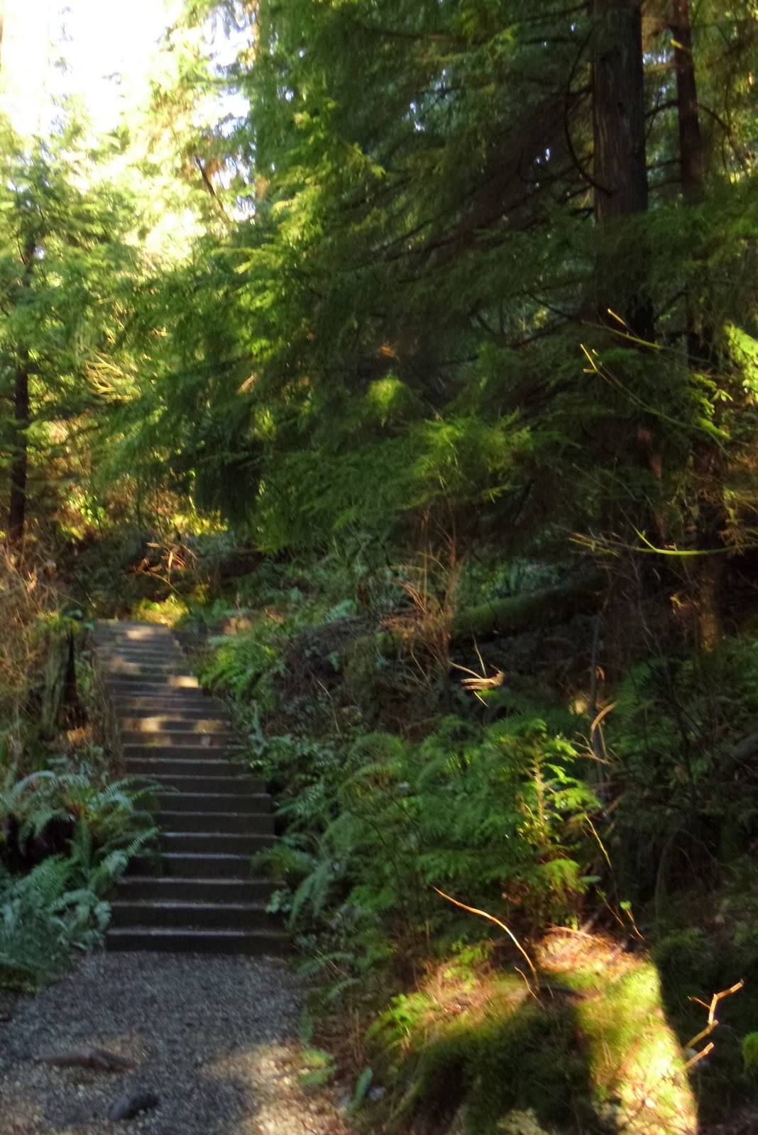 With this trail, there are several look-out points that would be of interest to your kids and others alike. The actual trail is quite easy on the spectrum of Greater Vancouver trails. The beginning of the trail is primarily in the dense forest with spots where you can peak through and see views of the lake as you work your way around. Along this path you will come across a large rock that is used for swimming and sunbathing in the summer by a lot of the locals. There is one large section of stairs in the beginning when you are traveling in a counter clockwise direction from the main bathrooms at White Pine beach.
 Beyond these skid plated stairs you will pass the Sasamat Summer Camp (Neighborhood House) that is on the south side of the lake. When you are standing on White Pine beach you can see the canoes lined up on the dock. This is a great spot to swim to in the summer. Once you have passed the camp you will come be along the edge of the lake following through the forests edge.

At all times of the year you will also see people fishing on the dock portion of this floating bridge. This is a stocked lake and is quite popular through out the year.
 Beyond this portion you head back into the forest on the shoreline and pass through marshy area with reed grass growing along another platform path along the waters edge. This will bring you back to the White Pine Beach where there are several picnic tables, places to set up a portable BBQ and use the washroom facilities.

Through out the year this is a great spot for seeing ducks, geese, deer, squirrels and otters. You just have to keep your eyes out. Be warned that this spot is extremely busy in the summer months with the gates being closed due to capacity restrictions, and many people resort to parking on the roads leading into the park. Be forewarned that there is also a dog friendly portion on this trail. You may cross paths with dogs that should all be on leash and in the designated areas.


BC Hydro Map of this area can by found here!
Driving directions to White Pines Beach
- 12 minsIoco Rd and Bedwell Bay Rd7.7 km
Port Moody Arena 300 Ioco Road Port Moody, BC V3H 2V7 |
| 1. Head northwest on Ioco Rd toward Avalon Dr | ||
3.9 km | ||
| 2. Turn right at 1 Ave | ||
700 m | ||
| 3. Slight left at Bedwell Bay Rd | ||
1.2 km | ||
| 4. Continue straight to stay on Bedwell Bay Rd 5. take a right at the White Pines Beach Exit and follow to the parking area | ||
Absolutely loved this walk today! I've never been to White Pine at this time of year and it was just so gorgeous! Great company, fresh air, and some light cardio: I will definitely be doing this again! Also, the great outdoors made for a very well napped baby this afternoon :D Bonus!
ReplyDeleteIt looks gorgeous! I am so sorry I missed this walk but will definitely be out there with you next time.
ReplyDelete